# react-leaflet-shapefile-v2 [](https://www.npmjs.com/package/react-leaflet-shapefile-v2)[](https://github.com/TA-Geoforce/react-leaflet-shapefile-v2/actions/workflows/node.js.yml)[](https://github.com/TA-Geoforce/react-leaflet-shapefile-v2/actions/workflows/npm-publish.yml)[](https://github.com/TA-Geoforce/react-leaflet-shapefile-v2/actions/workflows/node.js.yml)
Most recently tested with Leaflet React-Leaflet 3.0.5.
React component build on top of [React-Leaflet](https://github.com/PaulLeCam/react-leaflet) that integrate [leaflet.shapefile](https://github.com/calvinmetcalf/leaflet.shapefile) functionality.
## Install
```
npm install react-leaflet-shapefile
```
## Complete example with react-leaflet
Add some 'react-leaflet' so you can have a map.
Then add
```jsx
import React from 'react';
import { MapContainer, TileLayer, LayersControl } from 'react-leaflet'
import { ShapeFile } from '../lib/index.js'
const { BaseLayer, Overlay } = LayersControl;
export default class ShapefileExample extends React.Component {
state = {
geodata: null,
increment: 0
}
handleFile(e) {
var reader = new FileReader();
var file = e.target.files[0];
reader.readAsArrayBuffer(file);
reader.onload = function(buffer) {
this.setState({ geodata: buffer.target.result });
}.bind(this)
}
onEachFeature(feature, layer) {
if (feature.properties) {
layer.bindPopup(Object.keys(feature.properties).map(function(k) {
return k + ": " + feature.properties[k];
}).join("
"), {
maxHeight: 200
});
}
}
style() {
return ({
weight: 2,
opacity: 1,
color: "blue",
dashArray: "3",
fillOpacity: 0.7
});
}
render() {
let ShapeLayers = null;
if (this.state.geodata !== null) {
ShapeLayers = (
);
}
return (
)
}
}
```
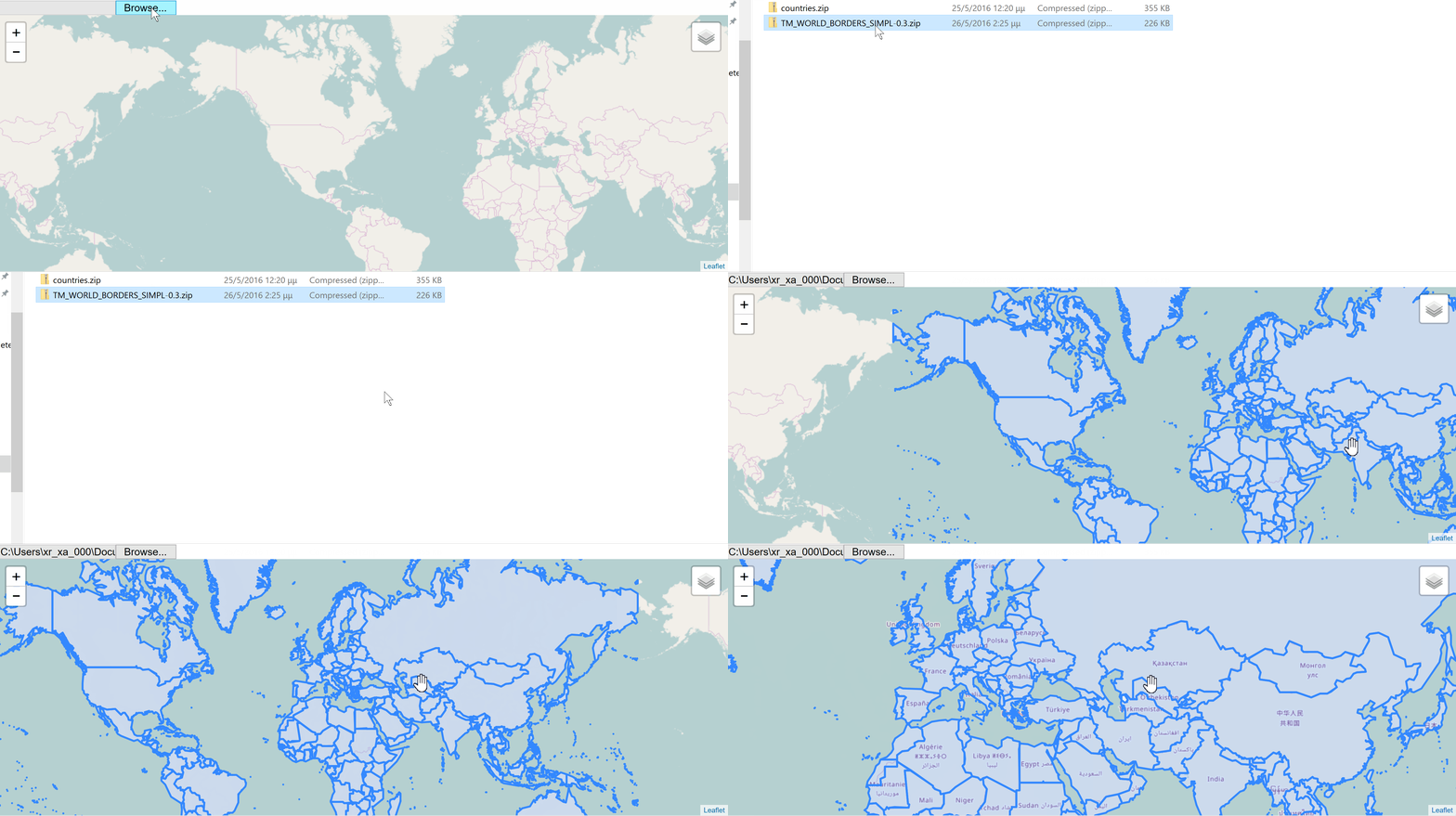
You can find the following example in the folder ```example```. Run the above code by executing the following scripts in package.json, with the order they are stated underneath:
1) ```build```
1) ```example```