| ... |
|
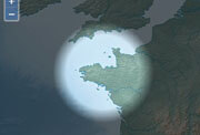
exif2geojson.jpg
|
3.67 KB |
|
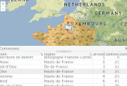
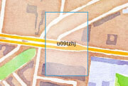
geojson2csv.jpg
|
3.81 KB |
|
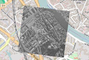
map.animatedcanvas.jpg
|
4.76 KB |
|
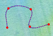
map.animatedcluster.gif
|
93.28 KB |
|
map.canvas.control.jpg
|
6.77 KB |
|
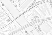
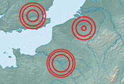
map.circle.intersection.jpg
|
21.01 KB |
|
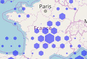
map.cluster.convexhull.jpg
|
7.89 KB |
|
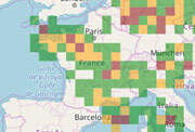
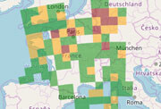
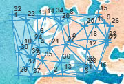
map.clustering.jpg
|
14.68 KB |
|
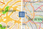
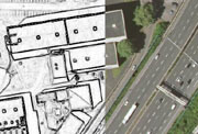
map.compare.jpg
|
15.71 KB |
|
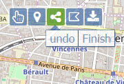
map.control.bar.jpg
|
11.6 KB |
|
map.control.button.jpg
|
11.95 KB |
|
map.control.cloud.jpg
|
3.96 KB |
|
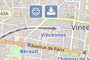
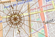
map.control.compass.jpg
|
12.76 KB |
|
map.control.editbar.jpg
|
12.39 KB |
|
map.control.editionbar.jpg
|
12.39 KB |
|
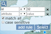
map.control.featurelist.jpg
|
10.3 KB |
|
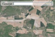
map.control.gauge.jpg
|
6.07 KB |
|
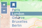
map.control.geobookmark.jpg
|
8.6 KB |
|
map.control.geolocationbar.jpg
|
5.08 KB |
|
map.control.geolocationbt.jpg
|
11.1 KB |
|
map.control.globe.jpg
|
8.05 KB |
|
map.control.graticule.jpg
|
11.32 KB |
|
map.control.gridreference.jpg
|
11.8 KB |
|
map.control.imageline.jpg
|
8.24 KB |
|
map.control.isochrone.jpg
|
13 KB |
|
map.control.legend.image.jpg
|
27.74 KB |
|
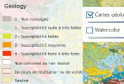
map.control.legend.jpg
|
9.46 KB |
|
map.control.legend.layer.gif
|
38.89 KB |
|
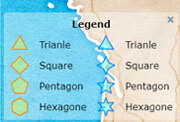
map.control.legends.jpg
|
10.41 KB |
|
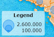
map.control.legendstat.jpg
|
13.01 KB |
|
map.control.mapzone.jpg
|
12.18 KB |
|
map.control.notification.gif
|
21.98 KB |
|
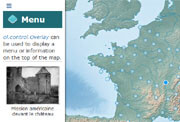
map.control.overlay.jpg
|
8.15 KB |
|
map.control.overlay.menu.jpg
|
9.1 KB |
|
map.control.permalink.jpg
|
11.63 KB |
|
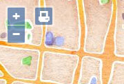
map.control.print.jpg
|
9.41 KB |
|
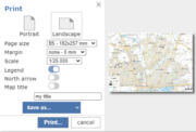
map.control.printdialog.jpg
|
4.54 KB |
|
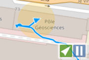
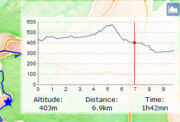
map.control.profile.jpg
|
6.24 KB |
|
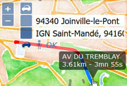
map.control.routing.jpg
|
14.23 KB |
|
map.control.scale.jpg
|
8.64 KB |
|
map.control.search.jpg
|
6.46 KB |
|
map.control.searchban.jpg
|
10.62 KB |
|
map.control.searchcoord.jpg
|
9.19 KB |
|
map.control.searchfeature.jpg
|
10.68 KB |
|
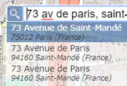
map.control.searchgeoportail.jpg
|
13.04 KB |
|
map.control.searchgeoportailparcelle.jpg
|
10.1 KB |
|
map.control.searchgps.jpg
|
8.96 KB |
|
map.control.searchnominatim.jpg
|
14.47 KB |
|
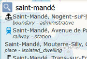
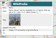
map.control.searchpedia.jpg
|
8.41 KB |
|
map.control.searchphoton.jpg
|
10.97 KB |
|
map.control.select.jpg
|
8.03 KB |
|
map.control.selectmulti.jpg
|
7.57 KB |
|
map.control.status.jpg
|
8.83 KB |
|
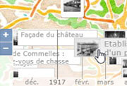
map.control.storymap.jpg
|
10.14 KB |
|
map.control.subbar.jpg
|
12.03 KB |
|
map.control.swipe.jpg
|
14.06 KB |
|
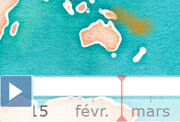
map.control.timeinterval.jpg
|
5.73 KB |
|
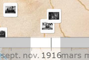
map.control.timeline.jpg
|
9.14 KB |
|
map.control.timequake.jpg
|
8.54 KB |
|
map.control.toggle.jpg
|
12.02 KB |
|
map.control.videorecorder.jpg
|
23.69 KB |
|
map.convexhull.jpg
|
10.91 KB |
|
map.daynight.jpg
|
4.96 KB |
|
map.dbpedia.jpg
|
13.95 KB |
|
map.dbpedia.photo.jpg
|
11.92 KB |
|
map.ddrop.jpg
|
6.98 KB |
|
map.dfci.jpg
|
11.85 KB |
|
map.dialog.jpg
|
6.81 KB |
|
map.featureanimation.jpg
|
8.02 KB |
|
map.featureanimation.path.jpg
|
9.5 KB |
|
map.featureanimation.select.jpg
|
8.02 KB |
|
map.filter.canvasfilter.jpg
|
7.16 KB |
|
map.filter.clip.jpg
|
9.86 KB |
|
map.filter.colorize.jpg
|
16.46 KB |
|
map.filter.composite.jpg
|
5.94 KB |
|
map.filter.crop.jpg
|
4.35 KB |
|
map.filter.css.jpg
|
11.72 KB |
|
map.filter.edgedetection.jpg
|
11.09 KB |
|
map.filter.fold.png
|
16.3 KB |
|
map.filter.lego.jpg
|
9.64 KB |
|
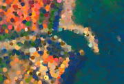
map.filter.oilpaint.jpg
|
5.58 KB |
|
map.filter.pencilsketch.jpg
|
6.83 KB |
|
map.filter.pointillism.jpg
|
25.3 KB |
|
map.filter.texture.jpg
|
9.14 KB |
|
map.fixedpopup.jpg
|
7.49 KB |
|
map.flashlight.jpg
|
4.39 KB |
|
map.geohash.jpg
|
9.12 KB |
|
map.geoimage.jpg
|
10.04 KB |
|
map.geom.cspline.jpg
|
6.8 KB |
|
map.geom.greatcircle.jpg
|
10.89 KB |
|
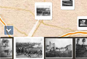
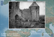
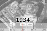
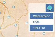
map.historical.jpg
|
5.06 KB |
|
map.input.collection.jpg
|
5.3 KB |
|
map.input.jpg
|
11.01 KB |
|
map.interaction.blob.gif
|
44.77 KB |
|
map.interaction.clip.jpg
|
6.57 KB |
|
map.interaction.copypaste.jpg
|
9.2 KB |
|
map.interaction.dragoverlay.jpg
|
10.6 KB |
|
map.interaction.drawhole.jpg
|
11.91 KB |
|
map.interaction.drawregular.jpg
|
9.39 KB |
|
map.interaction.drawtouch.jpg
|
11.28 KB |
|
map.interaction.geolocationdraw.jpg
|
4.58 KB |
|
map.interaction.hover.jpg
|
9.29 KB |
|
map.interaction.longtouch.jpg
|
8.21 KB |
|
map.interaction.modifyfeature.jpg
|
11.23 KB |
|
map.interaction.modifytouch.jpg
|
12.59 KB |
|
map.interaction.offset.jpg
|
11.89 KB |
|
map.interaction.ripple.gif
|
14.62 KB |
|
map.interaction.snapguides.jpg
|
11.75 KB |
|
map.interaction.split.jpg
|
12.3 KB |
|
map.interaction.splitter.jpg
|
11.84 KB |
|
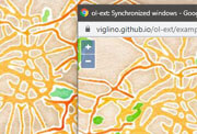
map.interaction.synchronize.jpg
|
11.98 KB |
|
map.interaction.tinkerbell.jpg
|
7.43 KB |
|
map.interaction.touchcompass.jpg
|
6.51 KB |
|
map.interaction.touchcursordraw.jpg
|
9.67 KB |
|
map.interaction.transform.jpg
|
10.78 KB |
|
map.interaction.undocustom.jpg
|
16.71 KB |
|
map.interaction.undoredo.jpg
|
11.83 KB |
|
map.interaction.undoredo2.jpg
|
11.91 KB |
|
map.intersection.jpg
|
19.53 KB |
|
map.layer.3D.2.jpg
|
19.1 KB |
|
map.layer.3D.jpg
|
12.07 KB |
|
map.layer.altitude.jpg
|
8.75 KB |
|
map.layer.clc.wfs.jpg
|
13.02 KB |
|
map.layer.elev.jpg
|
8.02 KB |
|
map.layer.featurebin.jpg
|
9.61 KB |
|
map.layer.geoportail.jpg
|
14.57 KB |
|
map.layer.geoportail.wfs.jpg
|
16.36 KB |
|
map.layer.gppvtile.jpg
|
9.86 KB |
|
map.layer.gridbin.jpg
|
9.52 KB |
|
map.layer.hexbin.jpg
|
10.63 KB |
|
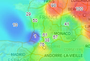
map.layer.idw.jpg
|
7.45 KB |
|
map.layer.insee.jpg
|
10.12 KB |
|
map.layer.sealevel.jpg
|
8.34 KB |
|
map.overlay.magnify.jpg
|
9.37 KB |
|
map.overpass.jpg
|
18.67 KB |
|
map.overview.jpg
|
11.7 KB |
|
map.perspective.jpg
|
10.62 KB |
|
map.pirate.jpg
|
7.98 KB |
|
map.placemark.jpg
|
7.13 KB |
|
map.popup.anim.jpg
|
7.28 KB |
|
map.popup.feature.jpg
|
11.49 KB |
|
map.popup.jpg
|
10.73 KB |
|
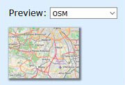
map.preview.jpg
|
6.74 KB |
|
map.progressbar.jpg
|
7.82 KB |
|
map.pulse.jpg
|
10.14 KB |
|
map.source.delaunay.jpg
|
14.6 KB |
|
map.source.dijkstra.jpg
|
19.43 KB |
|
map.source.georss.jpg
|
10.4 KB |
|
map.style.chart+text.jpg
|
8.86 KB |
|
map.style.chart.jpg
|
11.33 KB |
|
map.style.flowarrow.jpg
|
11.93 KB |
|
map.style.flowline.jpg
|
11.03 KB |
|
map.style.font.jpg
|
14.05 KB |
|
map.style.gpxline.jpg
|
8.73 KB |
|
map.style.hashlines.jpg
|
11.07 KB |
|
map.style.pattern.jpg
|
14.14 KB |
|
map.style.photo.jpg
|
9.06 KB |
|
map.style.profile.jpg
|
8.09 KB |
|
map.style.scribblefill.jpg
|
17.95 KB |
|
map.style.strokepattern.jpg
|
10.59 KB |
|
map.style.textpath.jpg
|
10.38 KB |
|
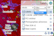
map.switcher.filter.jpg
|
8.88 KB |
|
map.switcher.image.jpg
|
11.02 KB |
|
map.switcher.jpg
|
12.34 KB |
|
map.switcher.popup.jpg
|
7.42 KB |
|
map.switcher.shop.jpg
|
13.7 KB |
|
map.synchro.jpg
|
13.21 KB |
|
map.target.control.jpg
|
10.05 KB |
|
map.tooltip.measure.jpg
|
4.92 KB |
|
map.watchdogs.gif
|
312.16 KB |
|
map.wikicommons.jpg
|
12.23 KB |
|
map.wmscapabilities.jpg
|
6.67 KB |
|
map.wmtscapabilities.jpg
|
7.4 KB |
|
ol-ext.jpg
|
104.15 KB |