# Morocco Map
Moroccan regions in TopoJSON format
### Usage
You can see the example in examples folder or live example here and here (for provinces)
### File reference
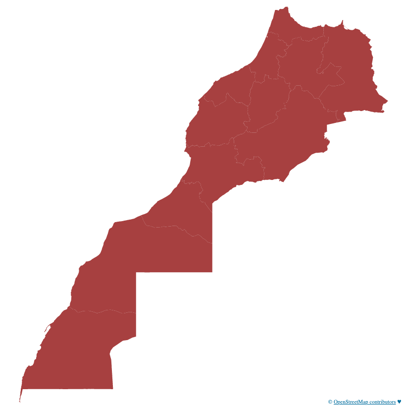
# regions.json [Download](https://cdn.jsdelivr.net/npm/morocco-map/data/regions.json "Source")
A TopoJSON file containing the 12 moroccan regions, the id of each region respects the the ISO 3166 standard.
 \
# provinces.json [Download](https://cdn.jsdelivr.net/npm/morocco-map/data/provinces.json "Source")
A TopoJSON file containing the provinces and prefectures, the ids of the items are **not yet** set to ISO 3166 standard.
\
# provinces.json [Download](https://cdn.jsdelivr.net/npm/morocco-map/data/provinces.json "Source")
A TopoJSON file containing the provinces and prefectures, the ids of the items are **not yet** set to ISO 3166 standard.
 ### TODO:
- [ ] Set ids in ISO 3166 standard for provinces/prefectures in provinces.json file
- [ ] Add cities
### TODO:
- [ ] Set ids in ISO 3166 standard for provinces/prefectures in provinces.json file
- [ ] Add cities