# country-iso
[](https://travis-ci.org/simonepri/country-iso) [](https://codecov.io/gh/simonepri/country-iso) [](https://www.npmjs.com/package/country-iso) [](https://www.npmjs.com/package/country-iso) [](https://david-dm.org/simonepri/country-iso) [](https://david-dm.org/simonepri/country-iso#info=devDependencies)
> 🗺 Get ISO 3166-1 alpha-3 country code for geographic coordinates.
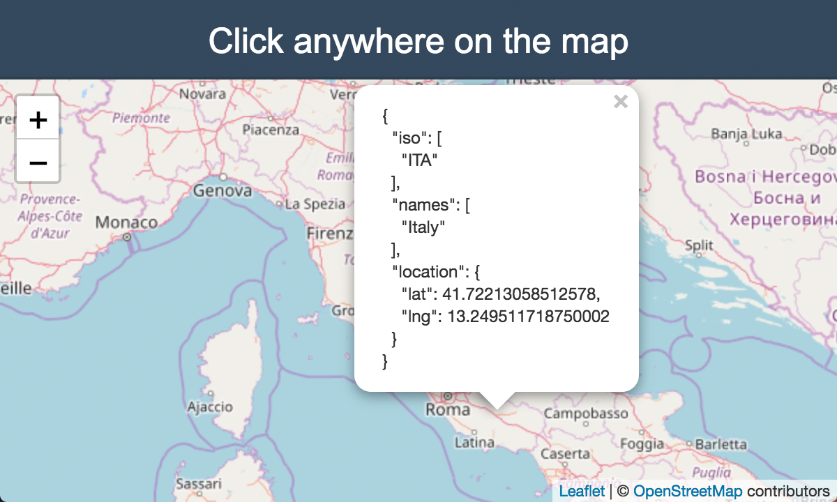
> Click on the map for a live preview.
## Install
```bash
$ npm install --save country-iso
```
## Usage
You can query any `(lat,lng)` pair on the earth. It also works for territorial waters and disputed countries.
```javascript
const countryIso = require('country-iso');
// Query a point in Italy.
countryIso.get(41.9028, 12.4964);
// => ['ITA']
// Query a disputed country.
countryIso.get(24, -14);
// => ['ESH', 'MAR']
// Query a point somewhere in Atlantic Ocean.
countryIso.get(40, -40);
// => []
```
> The package internally uses [@geo-maps/countries-maritime](https://github.com/simonepri/geo-maps/blob/master/info/countries-maritime.md) map with 10m resolution.
> The accuracy of the map has been tested with [23785 cities](fixtures/cities.geo.json).
## API
## get(lat, lng) ⇒ Array.<string>
Searches for every country which contains the point (lat, lng).
**Returns**: Array.<string> - Array of ISO 3166 alpha-3 country code for the geographic
coordinates.
| Param | Type | Description |
| --- | --- | --- |
| lat | number | The latitude of the point. |
| lng | number | The longitude of the point. |
## Authors
* **Matteo Chen** - [chq-matteo](https://github.com/chq-matteo)
* **Simone Primarosa** - [simonepri](https://github.com/simonepri)
See also the list of [contributors](https://github.com/simonepri/world-country/contributors) who participated in this project.
## License
This project is licensed under the MIT License - see the [LICENSE](LICENSE) file for details.