
![]()
![]()


![]()
![]()

![]()
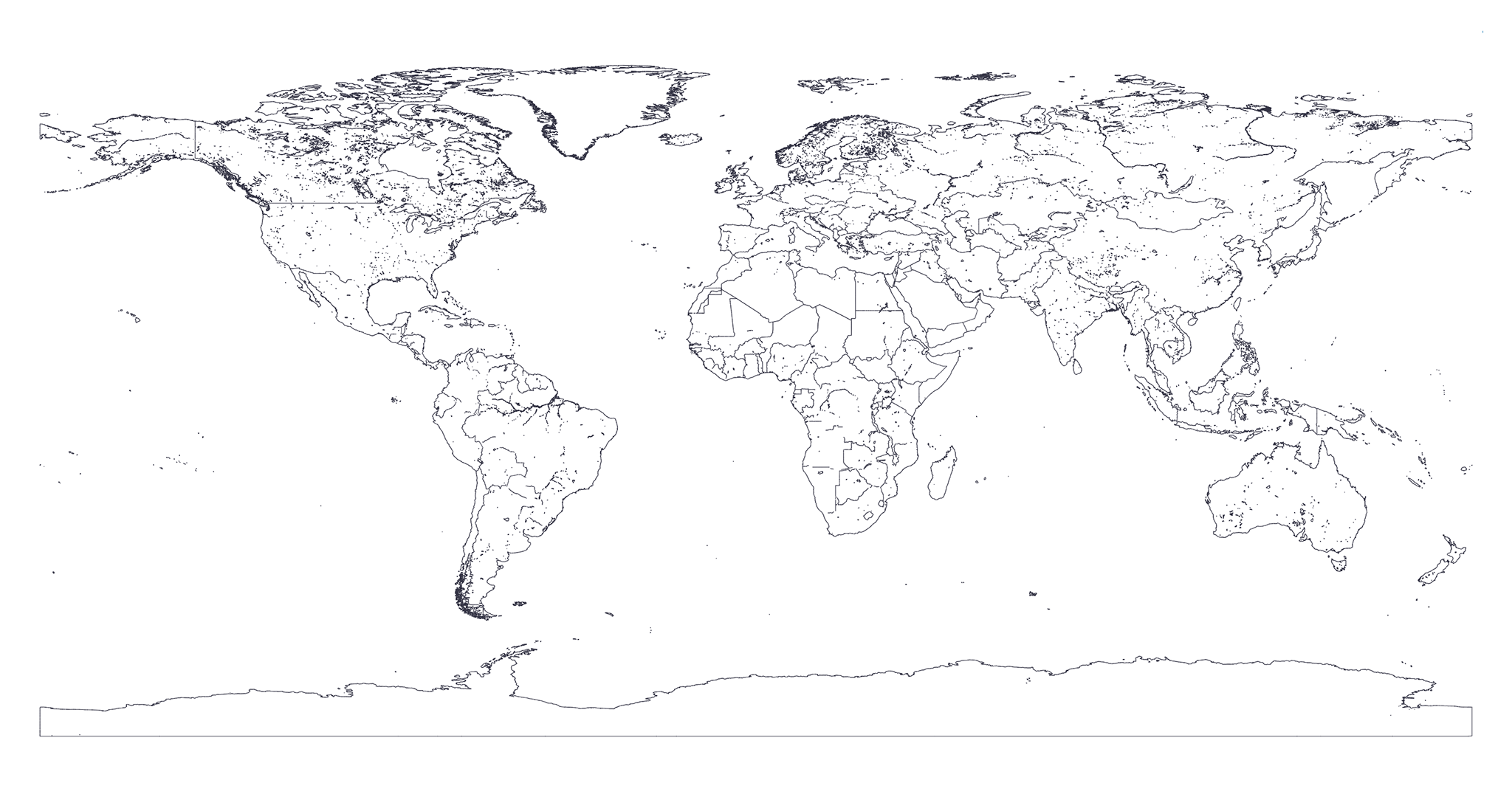
🗺 High Quality GeoJSON map of countries' political land borders with 250m resolution.
The only GeoJSON maps of the world you will ever need!
## Preview Click on the image below to see a live preview of the map with an absolute error of **250m**.
 ## Install
```bash
$ npm install --save @geo-maps/countries-land-250m
```
## Usage
```javascript
// Just require it and you are done!
const geoCountriesCoastline = require('@geo-maps/countries-land-250m');
```
## Authors
* **Simone Primarosa** - [simonepri](https://github.com/simonepri)
See also the list of [contributors](https://github.com/simonepri/geo-maps/contributors) who participated in this project.
## License
All data of this project is licensed under the [Open Data Commons Public Domain Dedication and License](https://opendatacommons.org/licenses/odbl/1.0/) as stated in [OpenStreetMap License](http://www.openstreetmap.org/copyright)
All source code of this project is licensed under the MIT License - see the [LICENSE](LICENSE) file for details.
## Install
```bash
$ npm install --save @geo-maps/countries-land-250m
```
## Usage
```javascript
// Just require it and you are done!
const geoCountriesCoastline = require('@geo-maps/countries-land-250m');
```
## Authors
* **Simone Primarosa** - [simonepri](https://github.com/simonepri)
See also the list of [contributors](https://github.com/simonepri/geo-maps/contributors) who participated in this project.
## License
All data of this project is licensed under the [Open Data Commons Public Domain Dedication and License](https://opendatacommons.org/licenses/odbl/1.0/) as stated in [OpenStreetMap License](http://www.openstreetmap.org/copyright)
All source code of this project is licensed under the MIT License - see the [LICENSE](LICENSE) file for details.