# Cublya World Atlas TopoJSON
This maintained fork provides a reproducible redistribution of [Natural
Earth](https://www.naturalearthdata.com/) vector data, version **5.1.2**, as
quantized TopoJSON. It is derived from the archived
[`topojson/world-atlas`](https://github.com/topojson/world-atlas) project while
preserving the original six artifact names and object structure, with additional
boundary-policy variants.
Natural Earth data is [public
domain](https://www.naturalearthdata.com/about/terms-of-use/): commercial use,
modification, and redistribution are permitted without permission or required
attribution. The build code remains ISC-licensed.
**[Read the documentation](https://cublya.github.io/world-atlas/)**
## Install
```sh
npm install @cublya/world-atlas
```
```js
import world from "@cublya/world-atlas/countries-10m.json" with { type: "json" };
```
## Boundary views
The default `countries-*.json` files use a UN-style sovereign-state view:
- Crimea is assigned to Ukraine.
- Kosovo is dissolved into Serbia.
- Northern Cyprus and the Cyprus U.N. Buffer Zone are dissolved into Cyprus.
- Somaliland is dissolved into Somalia.
- Baikonur is dissolved into Kazakhstan.
- Western Sahara remains a distinct territory (`EH` / `ESH` / `732`), not part
of Morocco.
If you need Natural Earth's independent map-unit view, use the matching
`countries-independent-*.json` file:
```js
import world from "@cublya/world-atlas/countries-independent-10m.json" with { type: "json" };
```
That view keeps Kosovo, Northern Cyprus, Somaliland, Western Sahara, and other
Natural Earth map units separate when they exist in the source data. Each country
geometry includes `properties.boundaryView`, and default files mark merged
features with `properties.policyMergedMapUnits`.
## Coverage
The United Nations has 193 member states and two non-member observer states:
the Holy See and the State of Palestine. Generated artifacts are checked
against both groups.
| File | UN members | Observer states |
| --- | ---: | ---: |
| `countries-10m.json` | 193 / 193 | 2 / 2 |
| `countries-50m.json` | 193 / 193 | 2 / 2 |
| `countries-110m.json` | 165 / 193 | 1 / 2 |
Use 10m or 50m when complete country coverage matters. The 110m source omits
microstates as part of Natural Earth's small-scale generalization.
## Rebuilding
The source release, URLs, quantization, and output names are fixed in the
[build script](https://github.com/cublya/world-atlas/blob/master/scripts/build.mjs).
Downloads are cached under the ignored `build/` directory.
```sh
npm ci
npm run build
npm run validate
```
`source.json` records the Natural Earth version used by the committed artifacts.
CI rebuilds everything and fails if generated output has drifted.
### Usage
In a browser, using [d3-geo](https://github.com/d3/d3-geo) and Canvas:
https://observablehq.com/@d3/world-map
In a browser, using [d3-geo](https://github.com/d3/d3-geo) and SVG:
https://observablehq.com/@d3/world-map-svg
In Node, using [d3-geo](https://github.com/d3/d3-geo) and [node-canvas](https://github.com/Automattic/node-canvas):
https://bl.ocks.org/mbostock/885fffe88d72b2a25c090e0bbbef382f
## File Reference
#countries-110m.json · [Download](https://cdn.jsdelivr.net/npm/@cublya/world-atlas@3.0.0-beta.1/countries-110m.json "Source")
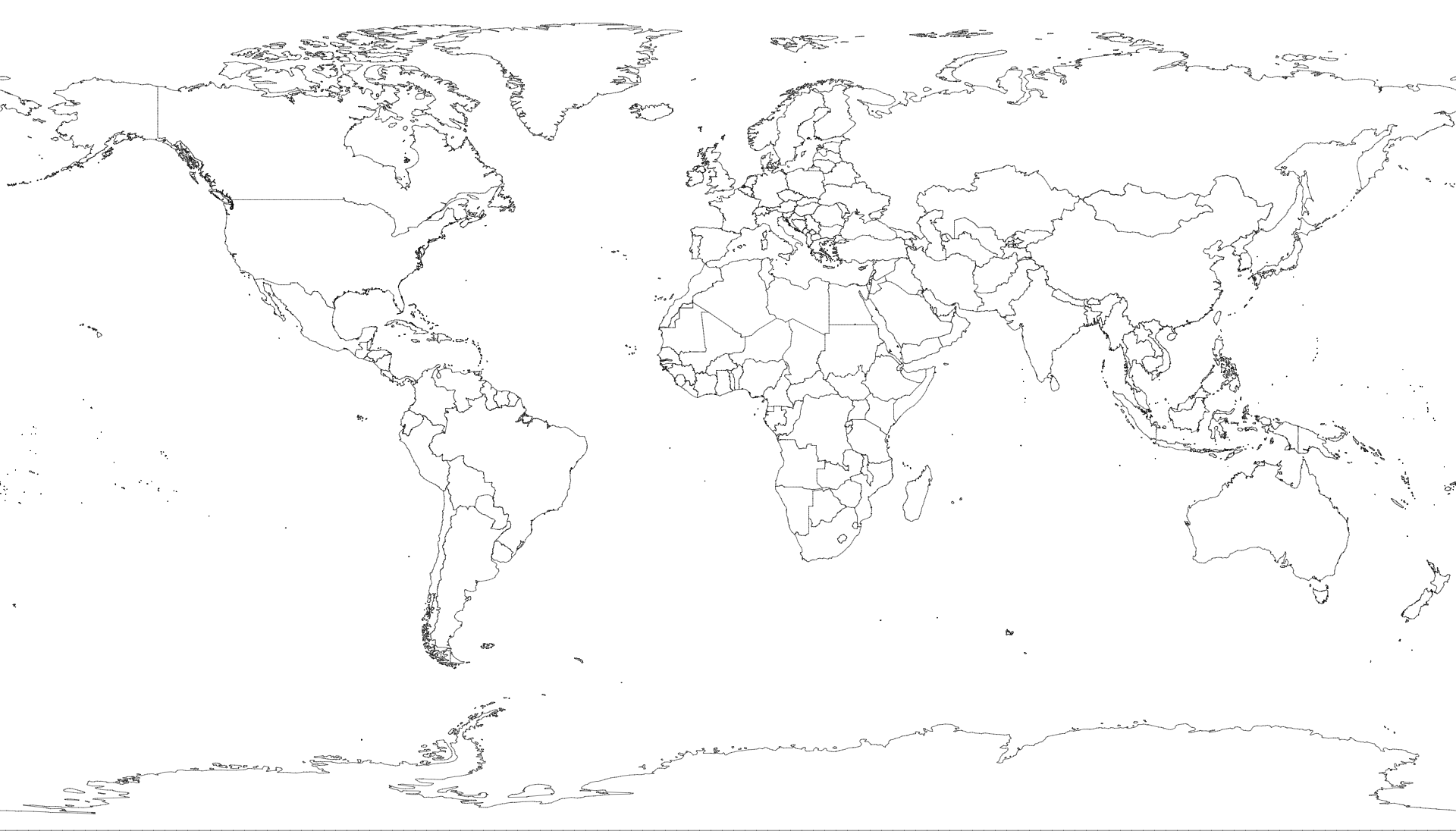
A [TopoJSON file](https://github.com/topojson/topojson-specification/blob/master/README.md#21-topology-objects) containing the geometry collections countries and land. The geometry is quantized, but not projected; it is in spherical coordinates, decimal degrees. This topology is derived from the Natural Earth's [Admin 0 country boundaries](http://www.naturalearthdata.com/downloads/110m-cultural-vectors/), 1:110m small scale. The land boundary is computed by [merging](https://github.com/topojson/topojson-client/blob/master/README.md#merge) countries, ensuring a consistent topology. This default file uses the UN-style boundary view.
#countries-50m.json · [Download](https://cdn.jsdelivr.net/npm/@cublya/world-atlas@3.0.0-beta.1/countries-50m.json "Source")
A [TopoJSON file](https://github.com/topojson/topojson-specification/blob/master/README.md#21-topology-objects) containing the geometry collections countries and land. The geometry is quantized, but not projected; it is in spherical coordinates, decimal degrees. This topology is derived from the Natural Earth's [Admin 0 country boundaries](http://www.naturalearthdata.com/downloads/50m-cultural-vectors/), 1:50m medium scale. The land boundary is computed by [merging](https://github.com/topojson/topojson-client/blob/master/README.md#merge) countries, ensuring a consistent topology. This default file uses the UN-style boundary view.
#countries-10m.json · [Download](https://cdn.jsdelivr.net/npm/@cublya/world-atlas@3.0.0-beta.1/countries-10m.json "Source")
A [TopoJSON file](https://github.com/topojson/topojson-specification/blob/master/README.md#21-topology-objects) containing the geometry collections countries and land. The geometry is quantized, but not projected; it is in spherical coordinates, decimal degrees. This topology is derived from the Natural Earth's [Admin 0 country boundaries](http://www.naturalearthdata.com/downloads/10m-cultural-vectors/), 1:10m large scale. The land boundary is computed by [merging](https://github.com/topojson/topojson-client/blob/master/README.md#merge) countries, ensuring a consistent topology. This default file uses the UN-style boundary view.
#countries-independent-*.json
These files have the same object structure as `countries-*.json`, but use
Natural Earth's independent map-unit view. Use them when you want Kosovo,
Northern Cyprus, Somaliland, and similar source map units to render as separate
features.
#land-110m.json · [Download](https://cdn.jsdelivr.net/npm/@cublya/world-atlas@3.0.0-beta.1/land-110m.json "Source")
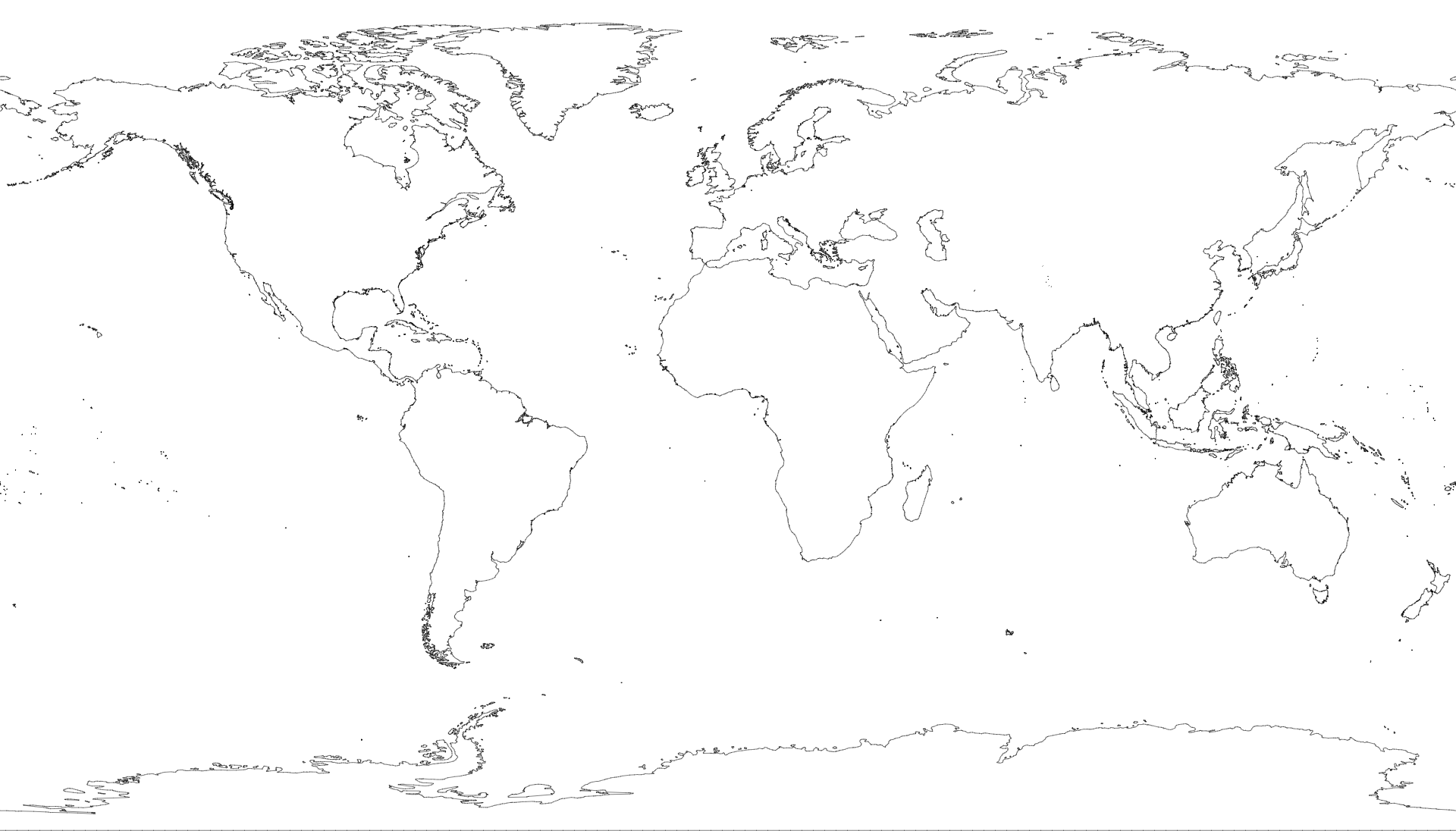
A [TopoJSON file](https://github.com/topojson/topojson-specification/blob/master/README.md#21-topology-objects) containing the geometry collection land. The geometry is quantized, but not projected; it is in spherical coordinates, decimal degrees. This topology is derived from the Natural Earth's [land boundaries](http://www.naturalearthdata.com/downloads/110m-physical-vectors/), 1:110m small scale.
#land-50m.json · [Download](https://cdn.jsdelivr.net/npm/@cublya/world-atlas@3.0.0-beta.1/land-50m.json "Source")
A [TopoJSON file](https://github.com/topojson/topojson-specification/blob/master/README.md#21-topology-objects) containing the geometry collection land. The geometry is quantized, but not projected; it is in spherical coordinates, decimal degrees. This topology is derived from the Natural Earth's [land boundaries](http://www.naturalearthdata.com/downloads/50m-physical-vectors/), 1:50m medium scale.
#land-10m.json · [Download](https://cdn.jsdelivr.net/npm/@cublya/world-atlas@3.0.0-beta.1/land-10m.json "Source")
A [TopoJSON file](https://github.com/topojson/topojson-specification/blob/master/README.md#21-topology-objects) containing the geometry collection land. The geometry is quantized, but not projected; it is in spherical coordinates, decimal degrees. This topology is derived from the Natural Earth's [land boundaries](http://www.naturalearthdata.com/downloads/10m-physical-vectors/), 1:10m large scale.
# *world*.objects.countries
Each country has these stable fields:
* *country*.id - the three-digit [ISO 3166-1 numeric country code](https://en.wikipedia.org/wiki/ISO_3166-1_numeric), such as `"528"`
* *country*.properties.name - the country name, such as `"Netherlands"`
* *country*.properties.boundaryView - `"un"` or `"independent"`
Additional descriptive properties may be present, including `nameLong`,
`adm0A3`, `isoA2`, `isoA3`, `isoN3`, `type`, `sovereignty`, `fclassIso`,
`fclassTlc`, `note`, and `policyMergedMapUnits`.
# *world*.objects.land

 Each country has these stable fields:
* *country*.id - the three-digit [ISO 3166-1 numeric country code](https://en.wikipedia.org/wiki/ISO_3166-1_numeric), such as `"528"`
* *country*.properties.name - the country name, such as `"Netherlands"`
* *country*.properties.boundaryView - `"un"` or `"independent"`
Additional descriptive properties may be present, including `nameLong`,
`adm0A3`, `isoA2`, `isoA3`, `isoN3`, `type`, `sovereignty`, `fclassIso`,
`fclassTlc`, `note`, and `policyMergedMapUnits`.
# *world*.objects.land
Each country has these stable fields:
* *country*.id - the three-digit [ISO 3166-1 numeric country code](https://en.wikipedia.org/wiki/ISO_3166-1_numeric), such as `"528"`
* *country*.properties.name - the country name, such as `"Netherlands"`
* *country*.properties.boundaryView - `"un"` or `"independent"`
Additional descriptive properties may be present, including `nameLong`,
`adm0A3`, `isoA2`, `isoA3`, `isoN3`, `type`, `sovereignty`, `fclassIso`,
`fclassTlc`, `note`, and `policyMergedMapUnits`.
# *world*.objects.land